Last & First - Big Sur CA.


36.361° N, 121.856° W //

a. US 101-S to Cabrillo Hwy 1

b.  Los Pedres National Forest

c. Sand Dollar Beach @ Big Sur, CA.

d. Camp either Prewitt Ridge or Plasket Ridge Rd  (Both are dispersed camping. No need for reservation) 


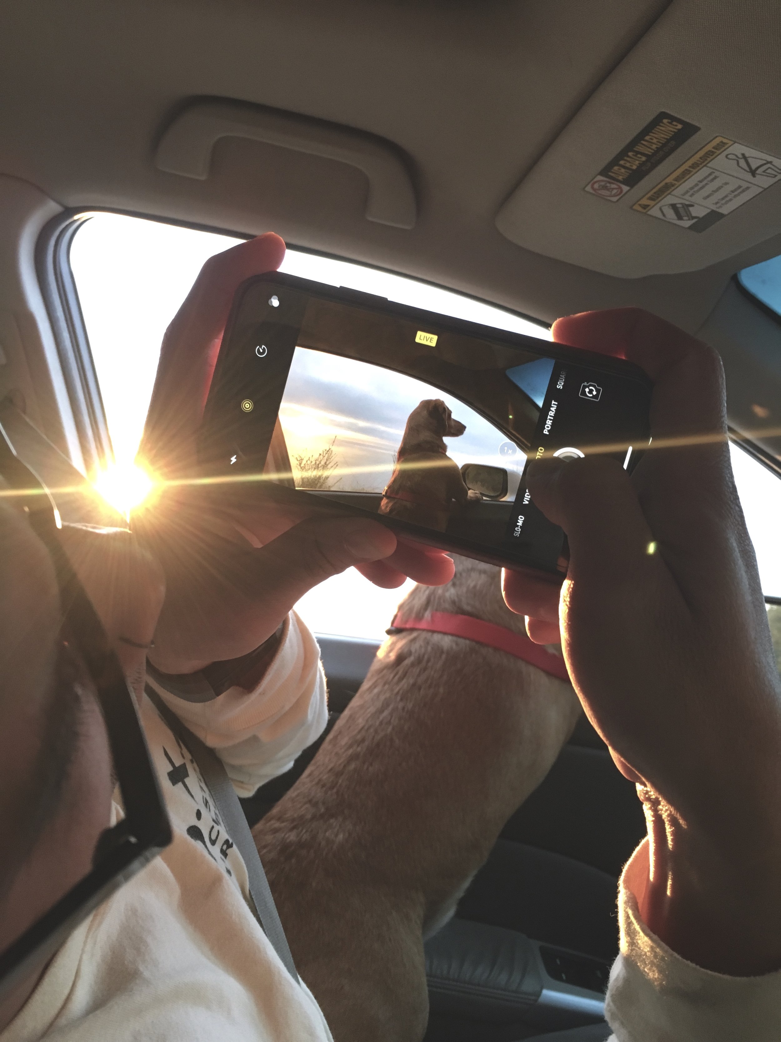
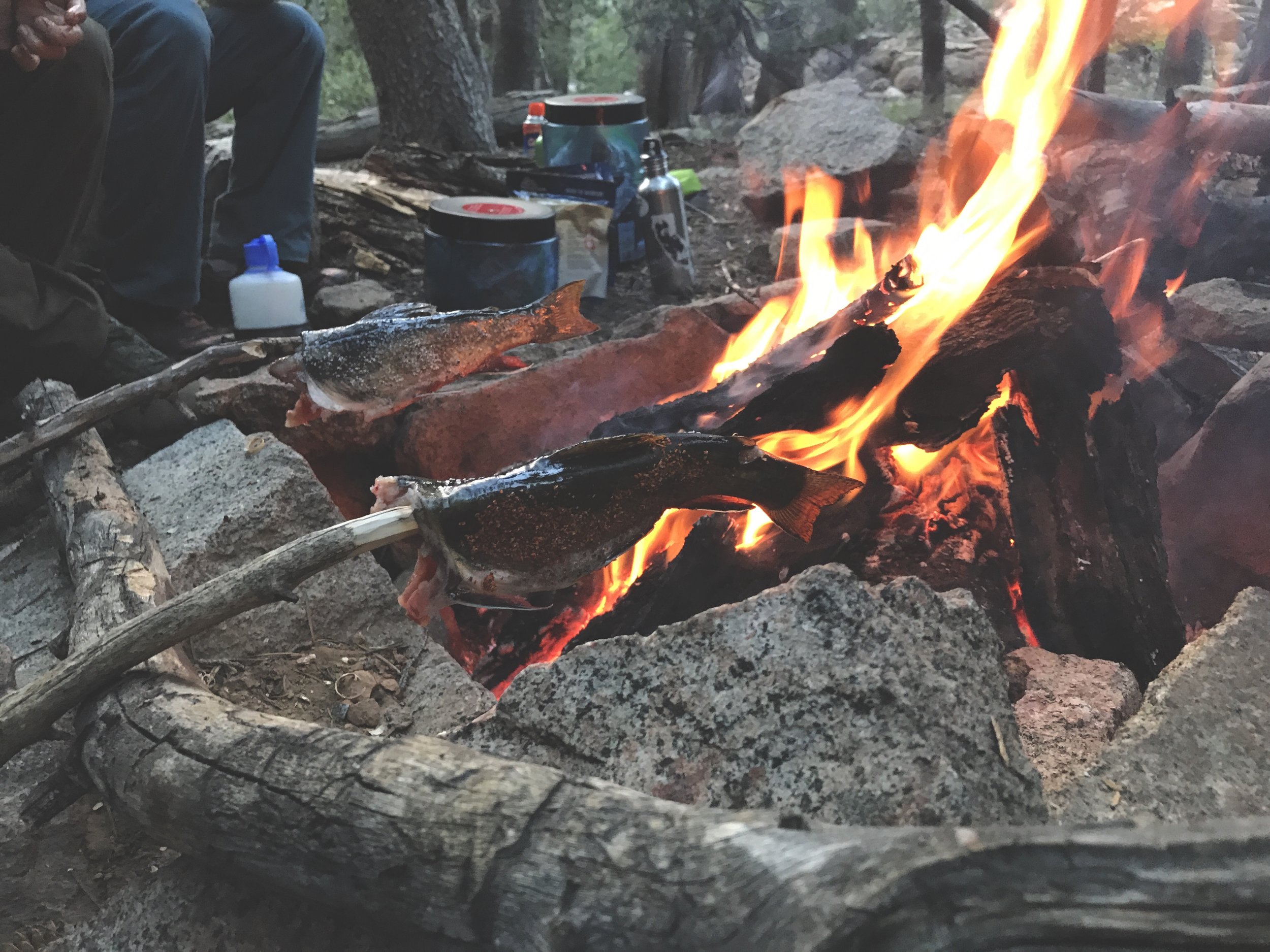
Happy New Years everyone. How’d you bring in the New Year? I spent mine camping in Big Sur for the last time of the year, and surfed for the first time of 2018.

Yes, I had major fomo while my friends and family raged together. But, I’m glad I went outdoors. I feel like camping into the new year is going to be an annual thing for me. Out there with the birds I spent time reflecting. I feel blessed to have a job, a home, great friends and Good health. I wish for all those things to continue to vibrate vibrantly.

Cheers to 2018.

New Pet Fish

Totally caught me by surprise. 

Anna quietly plotted this awesome birthday gift, with the help of some of my surf friends. She couldn’t wait until January 2nd so she showed it to me early. It all worked out because I came to LA to surprise Anna for Christmas. Michael Zippi finished the custom board early. Since I was driving we solved her dilemma of getting the board back to SF. Winning all around.

ps. It’s so pretty I don’t want to use it.  Also my favorite color too.

Whales at Morro Bay CA.

I feel like National Geographics.

I didn’t expect to see whales when checking the surf, but these are the wins worth waking up early for. Here’s a family of grey whales feeding just yards from my tent. They’re so majestic and awe-inspiring to watch. What really got me was the entourage of dolphins and seals dancing, racing and picking at their food scraps. It's moments like these that instantaneously change your mood. Mother nature’s so beautiful. Enjoy.

I LIVE FOR THESE MOMENTS

When the ocean is my front yard. Where salt crystals dress your hair. How the sun kisses your back, and the sunsets, that sets the world on fire. 

WARNING: ZION MORE MAGNIFICENT IN REAL-TIME

37.2690° N, 112.9469° W //

a. Zion National Park

b. Watchman Campgrounds

c. Shuttle from the village. Stop No.4

Angels Landing is probably one of my favorite hikes.  The End. 

PS. If you're afraid of heights. Don't mess with this one. Parts of the route is terrifyingly high, and narrow. 

the VIRGIN RIVER aka narrows

37.3050° N, 112.9491° W //

a. Zion National Park

b. Watchman Campgrounds

c. Shuttle from the village. Last stop No.9 is the Narrows. 

It's not an uphill battle like the rest of Zion, but The Narrows is one of the more difficult hikes, leaving my ankles and knees sore for the rest of the trip. The hike in is a linear trek amidst skyscraper like canyons, made of iron sediments and eroded rocks. Water sits about ankle high, and rises up to your chest. The further you trek in, the tighter the corridors are as claustrophobia kicks in.  Remember to bring a walking stick, or show up super early as nomads of the past leave behind hiking wands. We started at 5 AM but I wouldn't recommend it. The downside is you're in the dark for a section of the hike, and you're missing the grandiose effect of it all. The upside is that you're alone, the afternoon crowd can be irritating. Lastly the allure of hiking through cool, cold water quickly fades, and is replaced by phantom boulders, slippery algae and concealed pockets in the river bed, waiting to ambush your knees, ankles, and thrusting you into the river. 

In hindsight, I'd only hike to the narrowest part of the trail called "Wallstreet" and head back. Any further you're asking for a beating. It all feels the same the rest of the route. Thank me later, you're welcome. 

WHAT IS DESIGN?

"Inspired by the future, informed of the past, developing a vision with both, and conveying it distinctly and beautifully."

-- Inspired as I'm reading "Design As Art" by Bruno Munari

THE LANDSCAPE INSPIRES PAINTINGS

38.085° N, 119.309° W //

Trip Itinerary :

a. Bridgeport Ca.

b. Bridgeport Ranger District Office (For camp & fire pass) 

c. Green Lake (9000 FT.  In Elevation)

Green Lake is my latest jam, it definitely falls under top 5 backpacking and fishing destination close to SF for me. You can knock this out over a weekend.

The short 3 mile hike in feels more like 5 miles because of the climb and switch backs. I recommend arriving the night before and sleeping in the parking lot so that your body becomes acclimated to the altitude change. I made the mistake of arriving early in the morning and shocking my body with the 1000 ft altitude gain, that made me so sick I nearly threw up.  Note, the shady sections of the hike with clear signs of stagnant water is a buffet for mosquitoes. Bring a mosquito net or lots of deet cause you'll be passing a couple of buffets. Other than that, the views are epic. Trees run infinitely into the horizon. The landscape inspires paintings. The lake is refreshing in the afternoon sun. The trout seems slutty, real easy to hook. The views are amazing 360 degrees in any direction from where you decide to pitch a tent. 

Peep the photos from my trip: