Trip Itinerary :
a. Highway 84 E - Bridge of Gods
b. Columbia Gorge WA - Spirit Falls
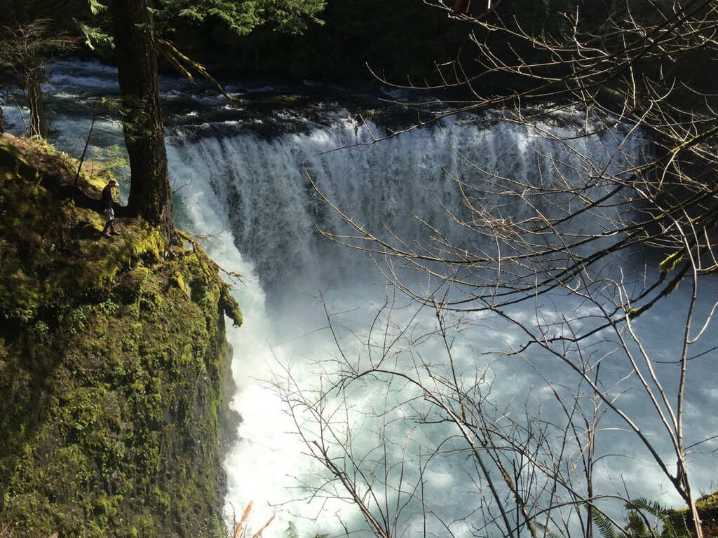
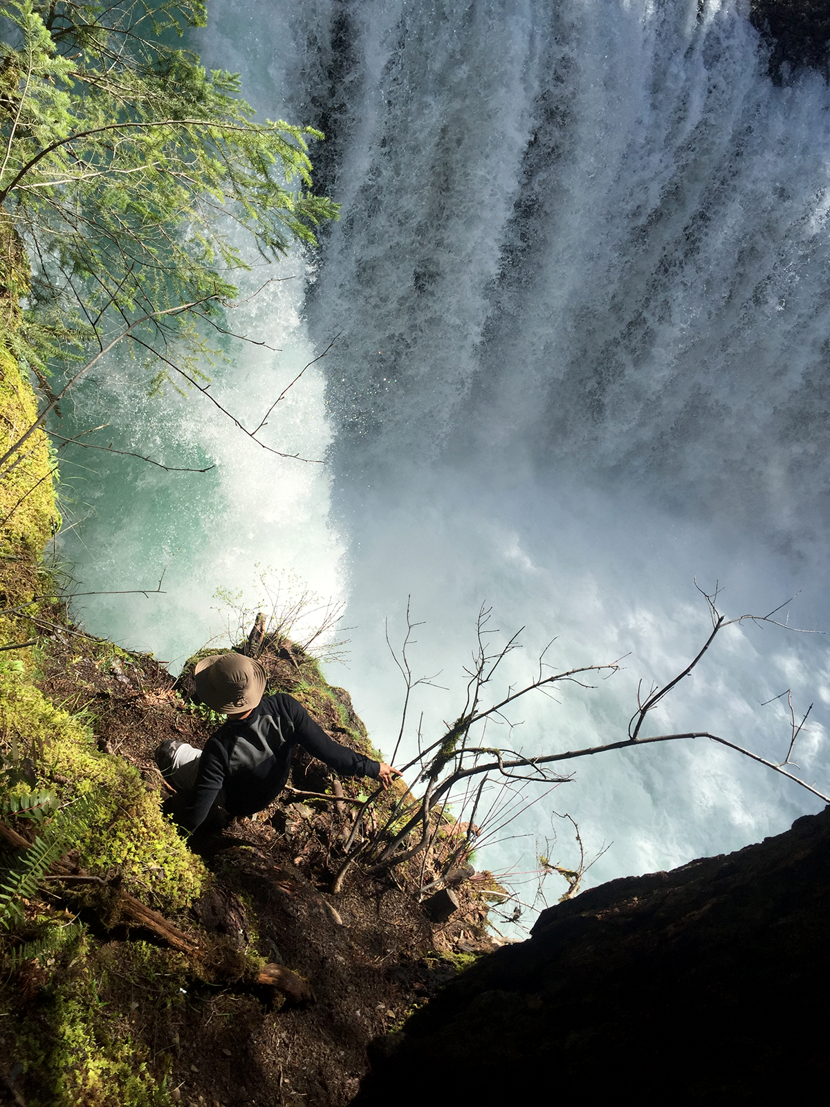
While back in Oregon for my pop's birthday weekend I was hoping it was still cold enough to see a bit of snow, some icicles or at least some dew covered plants at Spirit Falls.
Being an Oregon native I've seen most of the state during the Spring and Summer seasons. I've always been a chicken when it comes to cold weather, so I hibernated in the winter playing games. It's not until recently that I became fascinated with the idea of seeing parts of Oregon at the peak of winter. I was inspired when a buddy showed me a photo of Crater Lake frozen, covered in white powder and the water a beautiful turquoise hue. So this year I made a list of places I'd like to see, and Spirit Fall's was one of them. Unfortunately we're at the cusp of spring so excuse the lack of snow photos.
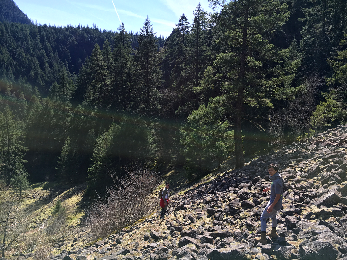
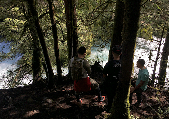
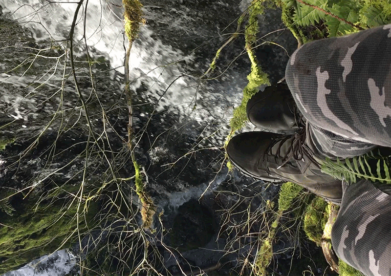
The hike is a short climb down. About 15-20 minutes of scaling a steep and rocky mountain side, and then a 10 minute hike in depending on your pace. Every so often a "Private Property, No Trespassing" sign is posted stating you will be prosecuted in neon green. After seeing a few of those and some abandoned washing machines covered in bullet holes. A few of us became discouraged, and frankly scared. Don't judge me. Because the trail was unmarked it took longer to find, often we felt lost. Uncertain if we're headed the right way. A good north star is to follow the creek, or the acoustics from the thundering falls as you get closer. Trust me its worth the scare and the climb.